Matt Porter
Project proposal
Geiser Preserver
Introduction:
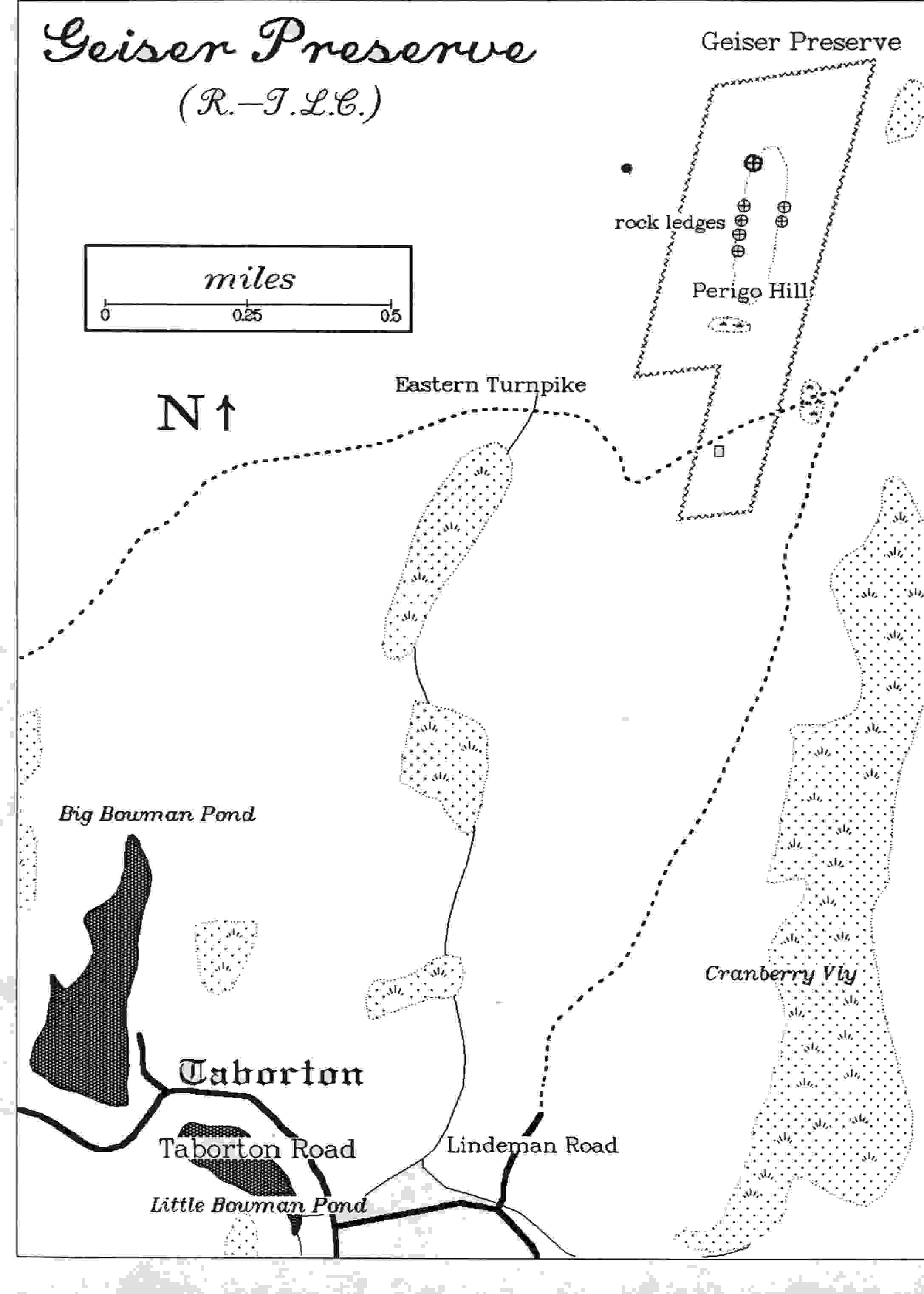
The Rensselaer land trust has acquired some land and it is called Geiser Preserve It is home for a wide variety of plant species in Rensselear. This land has not been used and it has not been completely explored yet. My job will be to see what is on this land and mark them on a map that will be available for the public. It is a 95 acre preserve and it has an elevation range from 1600-1900 feet. Geiser preserve is located high up on the Rensselear Plateau.
Methods:
The methods used in order to obtain data will be through GPS, ArcGIS, and visiting the actual swamp. I will map the trail and the locations of the rare vegetation with the GPS and I will be able to import them into ArcGIS. I will put the GPS points into an excel file and then I can add them in to the ArcGIS data layer. A meeting has been set for next week and we will go over the site and what the client expects from me. Things that will be mapped would be streams, trails, and places for the public to enter into the preserve. To map some of these elements I will start by making a base map and then add data layers like the wetland and streams. I will then zoom into the area of Geiser Preserve and I will be able to tell what features are located here. The data layers mention above have already been gathered and placed in the course projects folder. Data layers will be obtained from ArcGIS online as well as Mr. Conrad if he has any that I cannot find.
Objectives:
Some of the major tasks will be going out into the field and gathering data points. Also a rough map will have to be created and showed to the client in order to be critiqued. I plan on mapping features like streams wetlands and places that will be of interest to the public. I plan on doing some work on the map the week of the 18th before I go out to the location with my client. The next week is break and when I get back to school I hope to start importing some of the data that I gathered over break. After that I hope to work on it a little during each week and meet with my client to see what he thinks. I hope to have the map done by mid late April if all goes as planned.
3/5 Meeting with Client to discuss the preserve.
3/12
3/19 set up meeting in order to meet at the preserve.
3/23 meet with the client at the preserve in order for me to get familiar with it.
Week of the 3/24 return to the preserve to gather mare data that is necessary for the map.
4/2 start importing the data into ArcGIS.
4/9 continue to work on map during the week
4/16 create a rough draft to show client and my professor
4/23 make correction to the map and finalizes it
5/3 have map complete
Deliverables:
The map will be printed in black and white on a regular sheet or printer paper so people can take with them on the trail with them. Also the data layers will be sent to the RLT so they can use them as well as make modifications as time progresses.